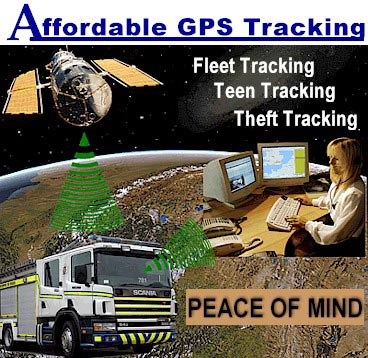
The SVR Tracking system helps vehicle fleet lot owners to drive down operating costs and increase their earnings. The system enables fleet owners to locate and recover their vehicles with live, real-time tracking, and provides stop verification, enabling them to determine potential locations for their vehicles. Alerts will flag owners, making them aware of events of interest. The SVR Tracking system dashboard provides real-time graphs and detailed vehicle data suited to tighter control and accurate measurements of vehicle activity.
STOLEN VEHICLE RECOVERY TRACKING:
When you know the “where” and “when” of your vehicle’s locations, you can quickly recover your vehicles. Using the Recovery Mode will provide continuous tracking of your vehicle, which means easy recovery by yourself or by law enforcement.
SVR TRACKING SOFTWARE FEATURES:
SVR Exclusive Features (features not found anywhere else):
- Impound Lot Alerting - send alert when car is impounded.
- 4 Hour Heartbeat - It automatically reports its location every 4 Hours instead of 25 hours like our competitors.
- Top 5 Stops (Most frequent stops for the past 4 months)
- Recovery Mode Tracking (continuous tracking)
- Unlimited manual locates
- 2 Minute Tracking - every 2 minutes when moving - stop verification. Every 4 hours when stopped.
- Top rated mobile ap viewer
Other Awesome SVR Features
- Great Customer Service - both in the field and from the corporate office.
- PC/ABS Alloy Box - Won't melt in the hottest car.
- Maintenance Alerts
- 3-year Service Plan
- 3-year warranty
- Assembled and Hosted in USA
- Free Mobile App
- Geofence Alerts
- Faulty Power Alert
- Programmable Geofence
- Low Battery Alert
- Multi-User Log In
- Easy Device Transfer
- Multiple Search Criteria Options
- Multi Levels of User Security
- Airtime Starts at Install
- Low Battery Draw
- Road & Arial Mapping Views
- Integrated Access API
- OBD II Harness (Optional)
- SID Harness and Relay (Optional)
- Long-Life Backup Battery (Optional)
CONTACT US
678-482-9476
GPS Tracking Device Ordering Information - Click Here!

The Global Positioning System (GPS) is a constellation of 24 satellites, that provide information to a GPS receiver, so that software in the receiver can determine a position in three dimensions (altitude, latitude, and longitude).

Originally developed by the U.S. Department of Defense for use in precision weapon delivery, the initial satellites were launched between 1974 and 1977. During the Clinton administration, use of the system's additional bandwidth was opened for civilian use. This move, combined with recent advances in personal technologies were the catalyst for an explosive surge in GPS market opportunities and intelligent applications.
![]()

![]()
